|
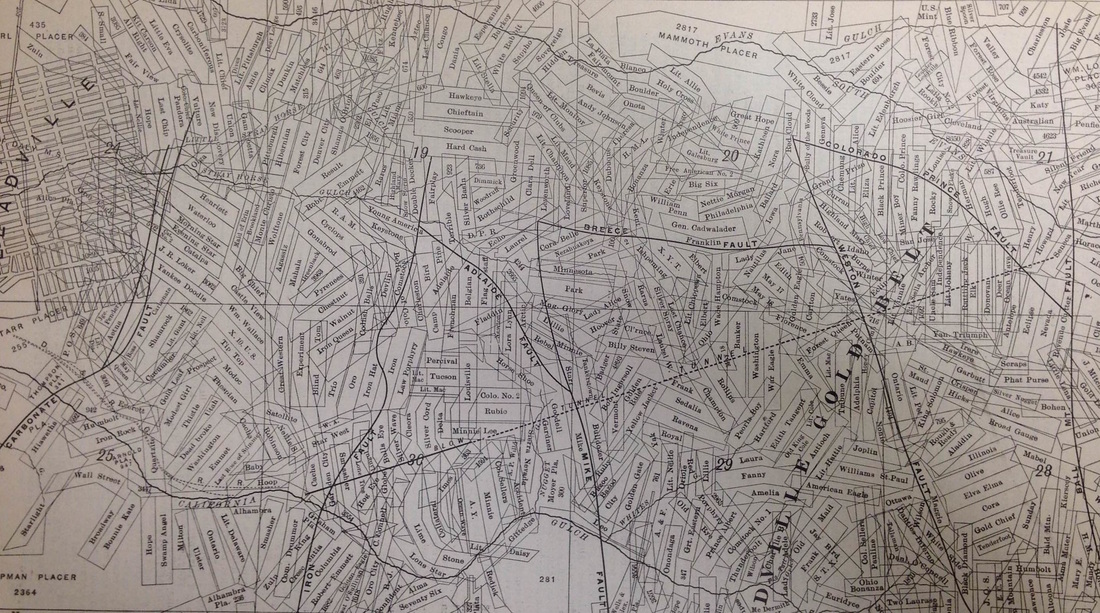
I scanned this map because I think it is a great representation of an historical mining landscape. Both extremely convoluted and strikingly organized, with geologic and political boundaries meshing together in a geometric cacophony. Maps like these illuminate how interpreting the historical mining landscape can be especially challenging, due to the scale of extraction and the overlapping of ownership from one claim to the next. This historical complexity often obfuscates some of the envirotechnical activity that created the landscapes we see today, as well as makes tracking the environmental legacies within these landscapes troublesome.
1 Comment
Leave a Reply. |
AuthorJohn Baeten is a Postdoctoral Fellow in Spatial Analysis of Environmental Change in the Department of Geography at Indiana University. He holds a PhD in Industrial Heritage and Archaeology from Michigan Technological University. His research aims to connect historical process to current environmental challenges, and to contextualize the environmental legacies of industrialization as meaningful cultural heritage. Archives
September 2018
|

 RSS Feed
