|
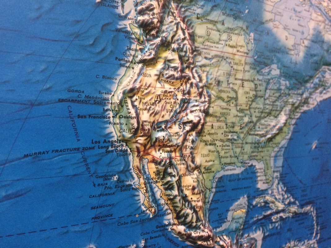
In 1955, Carson Lake did not exist Growing up in the flatlands of Northeast Wisconsin, I have long been fascinated with big topography and consistently drawn to maps - particularly those that use raised relief to depict elevation changes.
Raised relief maps are models of reality that present landscape formations in 3-Dimensions - allowing the user to both see and feel the plains, valleys, and mountain ranges of the world. As a child, I remember being intrigued by the vast raised ridges that ran across the Americas - one flowing from Alaska to New Mexico, and another running through Ecuador, Peru and Chile - places in which I would later work, travel, and live. These raised relief maps brought the dramatic geologic formations that occupy much of the western extent of the Americas to the classrooms of the topographically challenged Midwest.
3 Comments
|
AuthorJohn Baeten is a Postdoctoral Fellow in Spatial Analysis of Environmental Change in the Department of Geography at Indiana University. He holds a PhD in Industrial Heritage and Archaeology from Michigan Technological University. His research aims to connect historical process to current environmental challenges, and to contextualize the environmental legacies of industrialization as meaningful cultural heritage. Archives
September 2018
|

 RSS Feed
